Nobody expected the silence. We have become so accustomed to the infinite availability of federal data that we treat it like municipal water—always running, always free, completely invisible until the tap runs dry. But when the servers housing decades of critical climate models and geological surveys suddenly became inaccessible, a quiet panic rippled through the design offices and university labs where our future cities are being drawn.
It turns out that relying on a single, centralized vault for the blueprints of our survival is a terrible design philosophy. What happens when the vault door is welded shut? You don't stop building; you find a different way to remember where the floodwaters go.
The Architecture of a Digital Refugee
I’ve been tracking a fascinating shift in how urban planners are responding to this fragility. Instead of waiting for federal databases to come back online or praying they won't be wiped during the next political transition, a decentralized coalition is building what they call "Climate Havens."
These aren't physical shelters. They are distributed, crowd-verified digital twins of our cities, hosted on independent servers across the globe. Think of it as a massive, open-source mirror of our planet's vital signs, built so that no single government or administrative whim can delete the baseline data we need to survive.
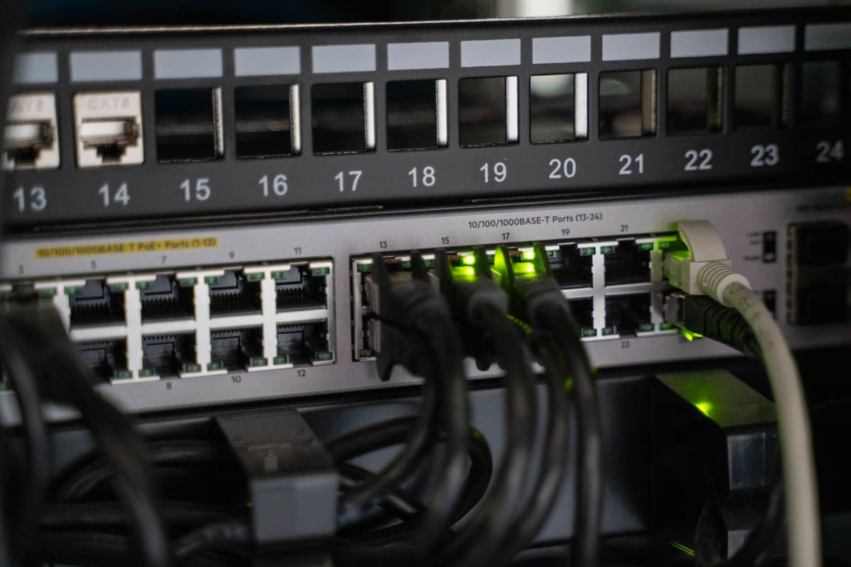
Photo by Vladimir Srajber on Pexels
This isn't just about saving spreadsheets. It is about preserving the high-resolution LiDAR scans, the microclimate wind simulations, and the historical runoff patterns that tell us exactly how high to build a seawall in Boston or where to plant urban forests in heat-islanded Phoenix.
Shifting the Burden of Truth
What intrigues me is how this crisis of trust is democratizing the actual science of city planning. Historically, a city council would hire a massive consulting firm, which would query a federal database, run a proprietary model, and hand down a 500-page report. It was top-down, expensive, and opaque.
Now, the tools are shifting to community-hosted repositories. Neighborhood associations in hot spots like Miami are deploying their own low-cost IoT sensors to track street-level flooding and heat indexes in real-time, feeding that raw data directly into open-source digital twins.
- Local communities own the data they generate, bypassing municipal bureaucracy.
- Peer-to-peer verification replaces top-down federal auditing, speeding up response times.
- Open-source licensing ensures that a breakthrough in flood mitigation in Jakarta can be instantly adapted for Baltimore.
We are witnessing a transition from passive consumption of government data to an active, collective stewardship of ecological reality. It makes you wonder: why did we ever let a centralized authority hold the exclusive keys to our climate memory in the first place?
The Technical Reality of Decentralized Twins
Building a digital twin of a city is an absurdly heavy computational lift. A single high-definition 3D model of a metropolitan area can easily exceed 50 terabytes of data once you factor in real-time traffic, weather feeds, and subterranean utility mapping.
To make this work without massive federal server farms, planners are utilizing decentralized storage protocols like IPFS (InterPlanetary File System) and blockchain-verified data ledgers. Instead of one massive supercomputer running a simulation, the workload is distributed across hundreds of smaller, independent nodes.
It is a messy, beautiful, slightly chaotic experiment. There are massive hurdles around data standardization and quality control. How do you ensure a sensor taped to a telephone pole by an enthusiastic amateur in Brooklyn meets the rigorous standards required to secure a $100 million infrastructure bond?
What This Actually Means
We might look back on the disruption of federal climate portals not as a disaster, but as the catalyst for a much more resilient way of thinking. By forcing the data out of the sterile, vulnerable halls of Washington and into the wild, collaborative spaces of the open-source community, we have made that data functionally immortal.
You cannot easily lobby a decentralized network. You cannot defund a database that lives on three thousand private servers scattered across six continents.
Ultimately, this is about agency. We are realizing that the task of adapting our cities to a changing climate is too important, and too localized, to be left to the fluctuating budgets of centralized agencies. The digital twins we are building today are more than just planning tools; they are the starting point for a new kind of civic infrastructure that belongs to everyone, and therefore, to no one.
Quick Answers
How do open-source digital twins actually protect cities?
By distributing climate data across a global network of independent servers, they ensure that local planners always have access to the modeling tools and historical data needed to design flood defenses and heat-mitigation infrastructure, regardless of federal political shifts.
Is crowd-verified data reliable enough for professional engineering?
It is becoming so through peer-to-peer verification protocols and automated data-cleaning algorithms that filter out anomalous sensor readings, creating a self-correcting system that often updates faster than traditional government audits.
Who pays for the hosting and maintenance of these decentralized databases?
Funding is shifting to a hybrid model of university research grants, civic tech coalitions, and municipal open-data initiatives that recognize hosting local data nodes is cheaper than paying proprietary software licensing fees.